wolverine radar
Measuring Earth's vital signs with positional assurance
Wolverine turns satellite data into signals you can act on. Every pixel is verified against a living planetary-scale surface model to ensure reliable temporal continuity.
Wolverine's Data is Different
Our proprietary processing technology fuses collected bursts of TOPSAR (InSAR) data and processes them to significantly higher resolution than traditional processing methods.
Greater resolution provides finer, more reliable change detection, and greater locational accuracy. Drag the slider to see the difference.
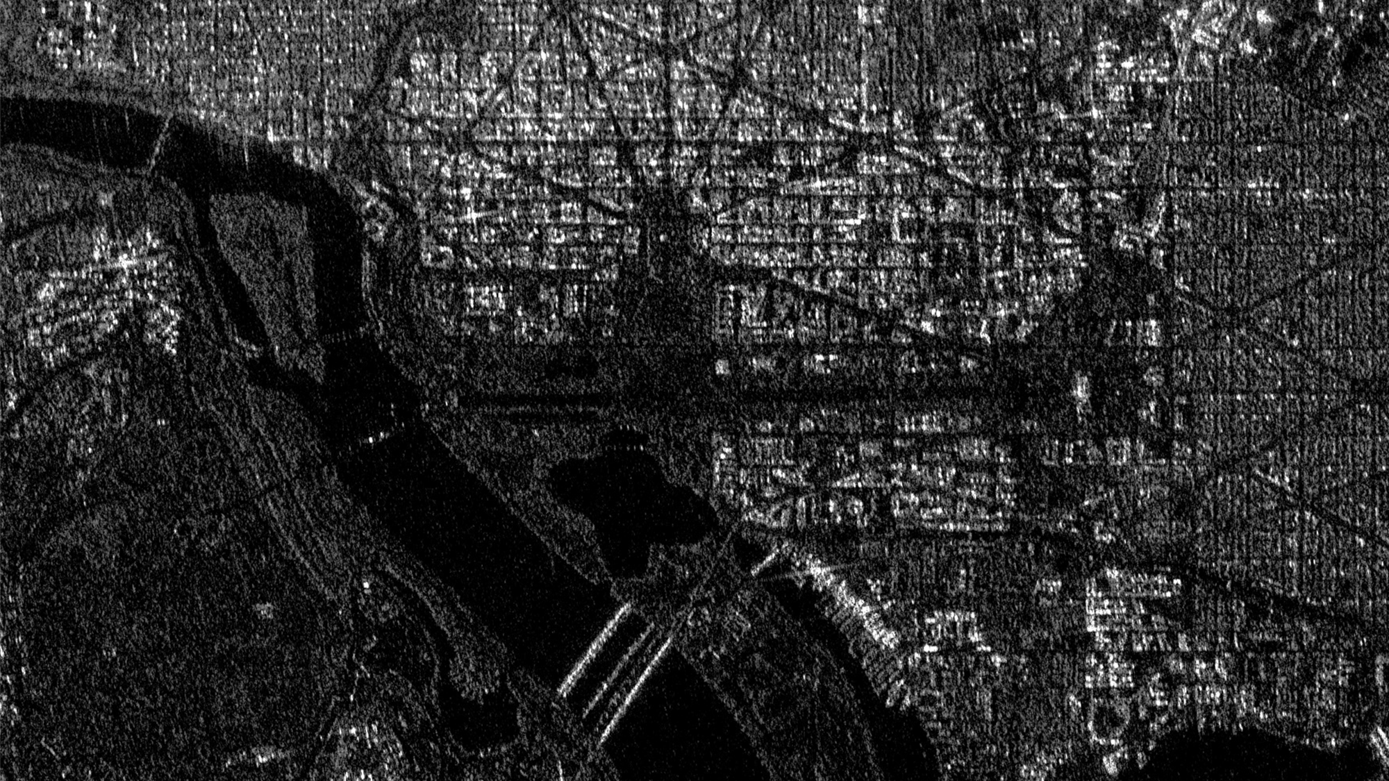
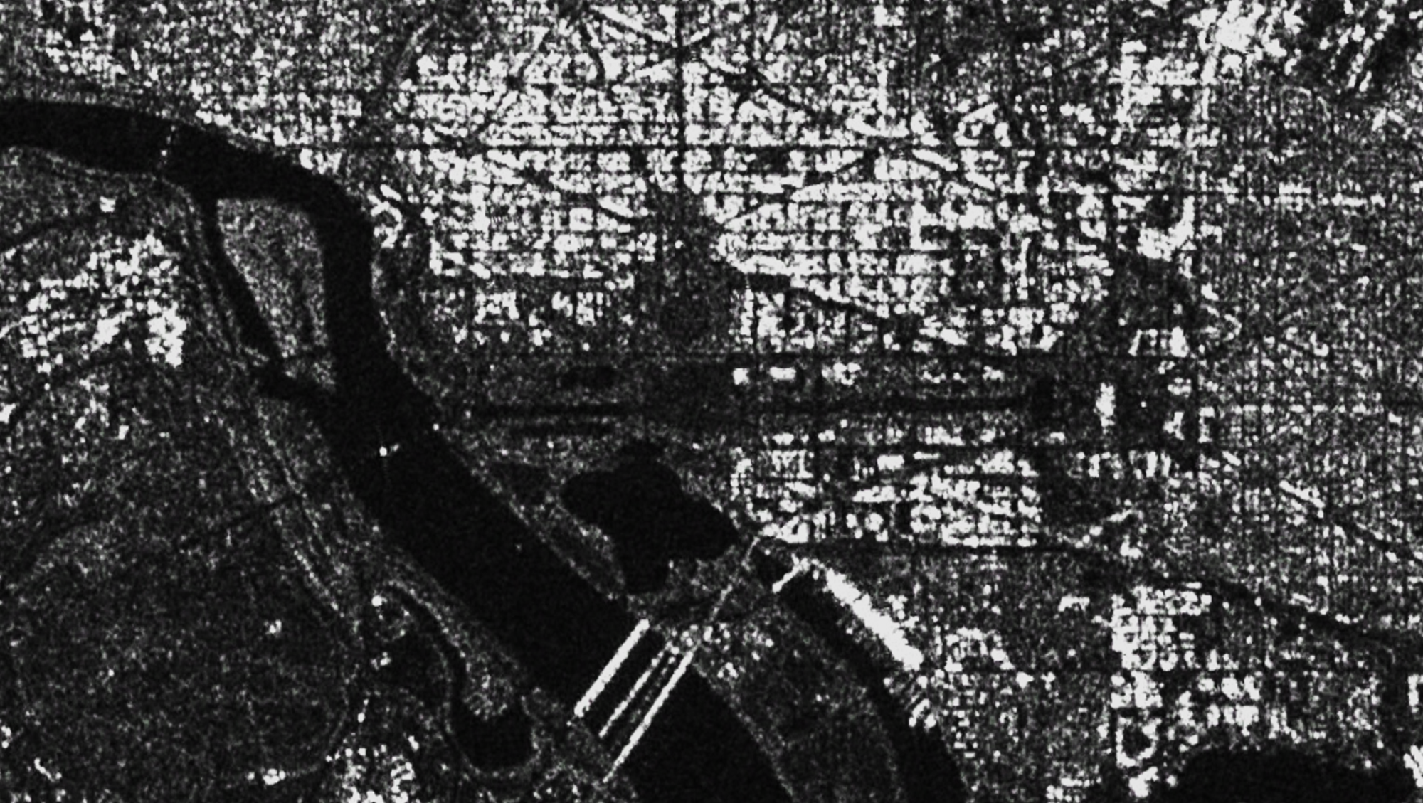
We turn SAR imagery into high value, geo-registered data signals, detecting and measuring vehicle-sized change.
Like a hospital bed-side monitor provides medical caretakers with a steady signal that alerts them to changes in their patient's condition, Wolverine Radar monitors, detects and alerts systems and analysts to new changes within their areas of interest, transforming Synthetic Apeture Radar (SAR) and electro-optical sensors into data streams capable of triggering customized downstream applications.
A Signal You Can Trust
Collect Imagery
Access public and commercial satellite imagery with near-global coverage, 1-12 day revisit, and historical archives dating to 2015. Receive fresh change signals within hours of collection, backed by historical data for comparison and pattern recognition.
Process Data
Wolverine Radar leverages proprietary processing techniques to deliver higher-resolution data than traditional methods.
Verify position
Every pixel is checked against a living, global 3D Digital Surface Model (DSM) and geo-registered to 5m CE90 accuracy, so each measurement has a trusted location.
Detect change
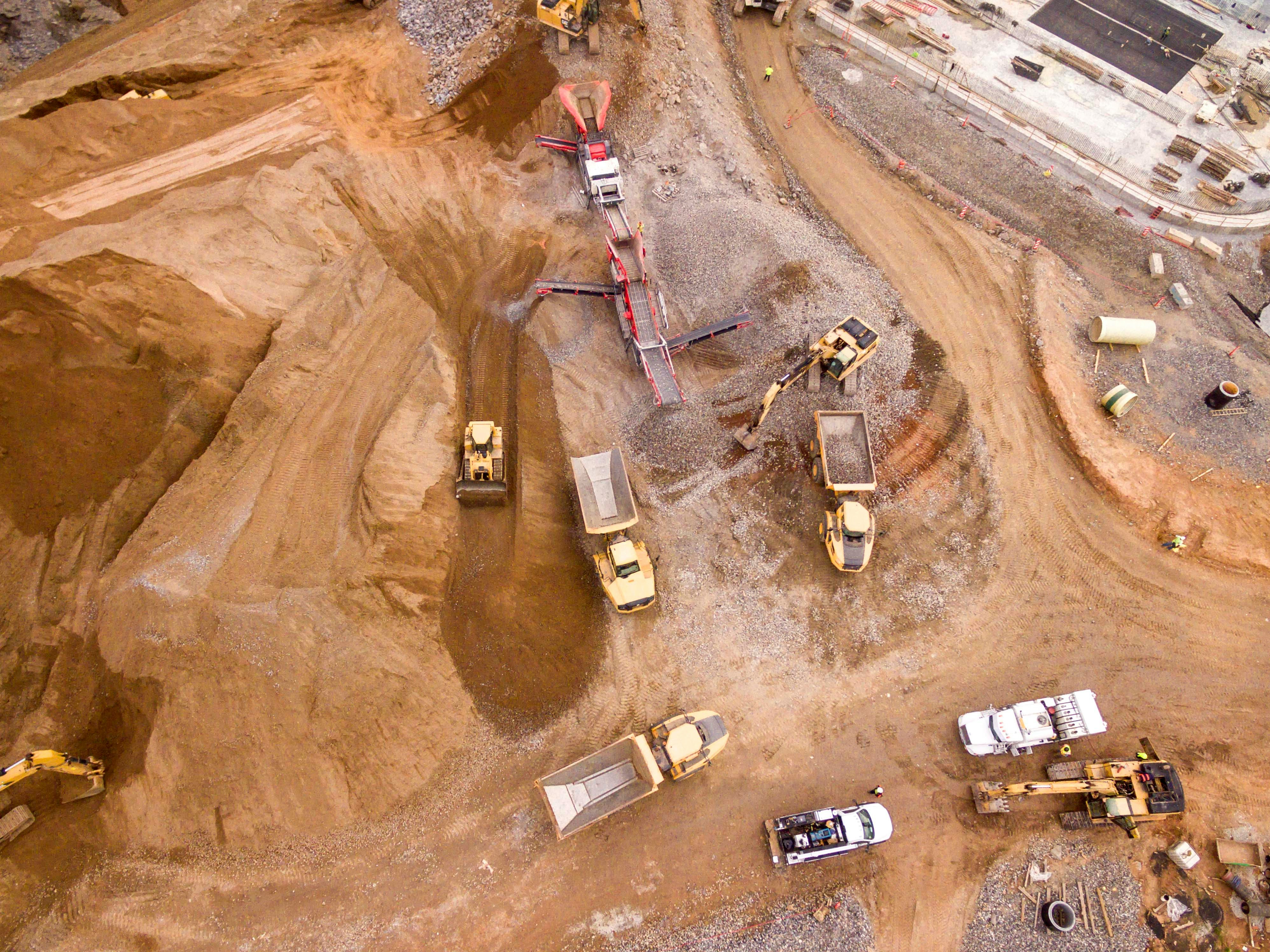
Every pixel is correlated against multiple historical reference images to pinpoint subtle changes as small as the arrival or departure of a single vehicle.
Stream the signal
A machine-readable signal, tied to a time and place, flows into your own tools. The signal is only as trustworthy as its position - that's why Wolverine verifies every pixel.
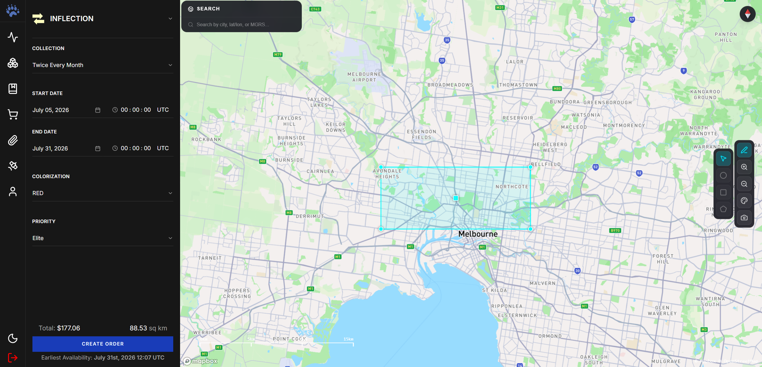
Customize your data feeds
Use the Wolverine App to define your areas of interest and specify what you want to detect. From there, time-and-location-stamped signals flow directly into your workflows as new imagery is collected.